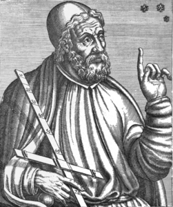
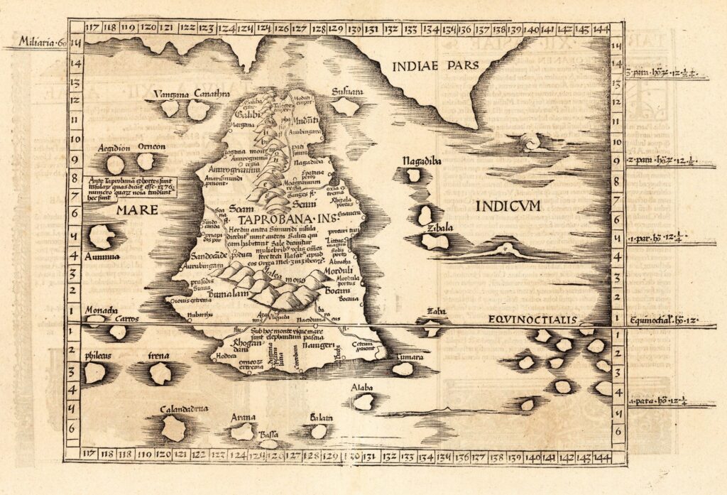
Ptolemy’s Sri Lankan Map (Ptolemy Sri Lanka Map) created by┬á Claudius Ptolemy┬áis the most famous historical map of this island nation. Ptolemy created this map in 139 AD. The Greeks called Sri Lanka Taprobana or Taprobane.

Ptolemy got the basic idea of the Sri Lankan map from the known world map created by Eratosthenes. He is an Egyptian astronomer, mathematician, and geographer.
This map is known as the Ptolemy’s Taprobane in many old documents.
The following map shows Ptolemy’s Taprobana as published in Cosmographia Claudii Ptolomaei Alexandrini, 1535.

Visit the collection of historical Sri Lankan maps.


