A Historical Sri Lankan Map Collection is a must for anyone studying archaeology or the history of Sri Lanka.
Sri Lanka was a well-known country in the ancient world among the nations in the known world. It also appeared in the Historical Sri Lanka Maps. The following table gives the list of ancient names used by the other nations.
| Name | First recorded on |
| Sri Lanka | 1972 CE |
| Ceylon(English) | 1796 CE |
| Ceilon(Dutch) | 1656 CE |
| Cilao(Portuguese) | 1505 CE |
| Pa-outchow(Chinese) | 1407 CE |
| Ilankai(Thamil) | 1284 CE |
| Serendib(Arabic) | 0622 CE |
| Lakdiva(Sinhala) | 0307 BCE |
| Taprobane(Greek) | 0336 BCE |
| Sihala(Pali) | 0543 BCE |
Source: http://lakdiva.org/
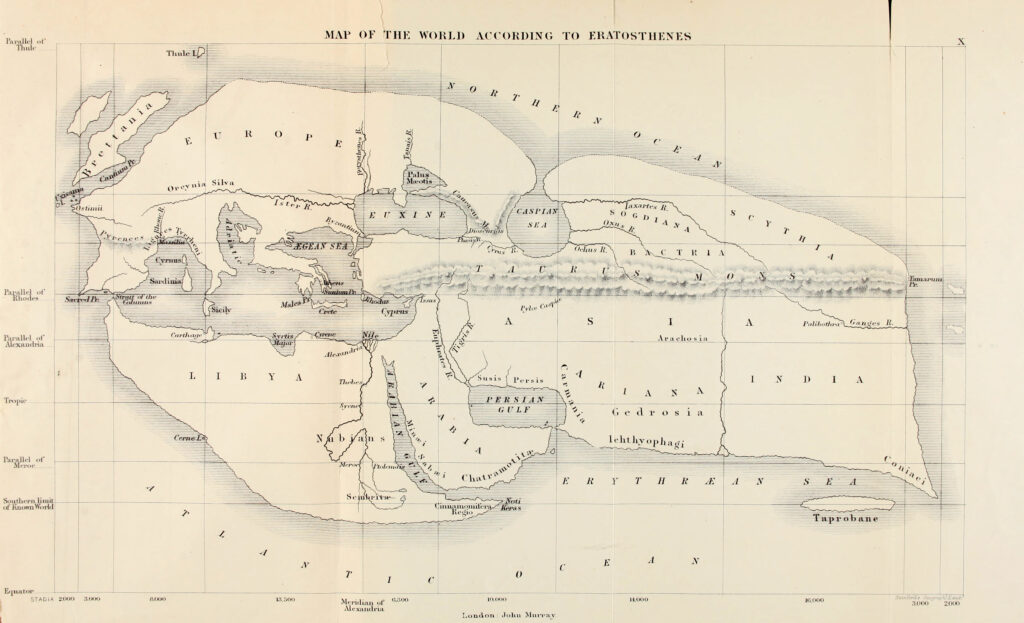
It was first appeared in the Eratosthenes (276 to 196 BC) known world map, and it was later adopted by Ptolemy (139 AD), and in this map, Sri Lanka was named Taprobane. The size of Sri Lanka in Ptolemy’s map is very large, and it may be due to the importance of Sri Lanka. This Ancient Sri Lankan Map is reproduced in the 19th century by Sir Edward Herbert Bunbury, 9th Bt.

In the colonial period started from 1505 AD, many Historical Sri Lankan Maps were created, and as time goes on the accuracy of the maps increased. Good collections of Historical Sri Lankan maps are available in Netherland and Britain.
This page gives the Historical Sri Lankan Map Collection created by different authors from the second century BC.
Sri Lankan Map Collection
Sri Lanka (Taprobane) in the Eratosthenes’ map of the (for the Greeks) known world, c. 194 BC


